
Walk a Montgomery Street
A sound Montgomery street directory search begins with one full address, not a surname. Preserve the house number, unit, directional, suffix, postal city, and ZIP exactly as shown. Then use the county map to assign a PIN, or property index number. That identifier follows the land even when spelling or mailing details vary. Ownership appears in assessor and deed records, while actual residence needs separate, dated support. A tax owner may be a trust, estate, company, or person living elsewhere.
- Check the address in KaneGIS4 or Kendall GIS, and save the county, municipality, PIN, and site address.
- Open Kane or Kendall DevNet. Compare the site address with the owner mailing address and note the assessment year.
- Use the correct county Recorder. Record the document number, instrument type, date, grantor, grantee, and legal description.
- Check Village permit logs by exact address. Keep owner, applicant, and contractor roles separate from occupancy.
- For an older household, ask the library for a named year and directory type, then confirm any entry with a second dated source.
This sequence turns an address into a reproducible record trail. It also exposes the point where evidence ends. The public Kane voter search takes a last name plus house number or street name, but its result confirms registration status and election details for the person searched, not a street roster. Kendall routes voters through its own county portal. Neither should be treated as an open household census.
Montgomery Streets Cross Counties
A Montgomery mailing line does not choose the records office. The village crosses Kane and Kendall Counties, while 60538 is a postal area. The same street directory method therefore branches after the parcel map. Kane land records route to Geneva, and Kendall land records route to Yorkville. Early records can require even more care because Kendall County was formed in 1841 from territory that had included part of Kane.
Start with geometry, then jurisdiction. A parcel near a road, right-of-way, subdivision edge, or incorporated-area boundary may look local on a postal result but belong to a different county system. Save the map date and county attribute. If the two systems disagree, ask the assessor to confirm the PIN before ordering a deed or filing a request.
Insider tip. Search the parcel first. A Montgomery ZIP cannot tell you whether the authoritative Recorder sits in Geneva or Yorkville.
Browse Montgomery Streets in KaneGIS4
Kane County documents a useful by-street method in KaneGIS4. Search the address or PIN, open the gold PINInfo panel, enter a distance in the Buffer Dist. field, and choose Mail. The output gives nearby parcels and mailing addresses. Each PIN then goes into DevNet for owner and assessment detail. This is an official parcel workflow, not proof that a mailing contact lives at the site.
The Kane GIS guidance also warns that map geometry is approximate. A recorded legal description or certified survey controls a true boundary. Kane DevNet accepts parcel number, address, or owner name, and the assessment year can be changed back to 2004. That date is assessor history, not the beginning of deed records.
The live KaneGIS4 parcel map shows the address and parcel interface used for the first pass.
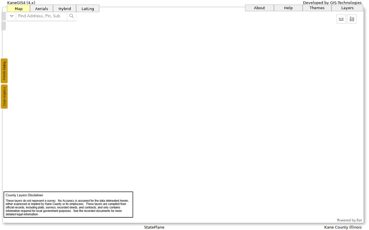
The map view helps establish county and PIN before names from other records are attached to an address.
Kendall Street Directory Search Fields
Kendall offers the more detailed visible search form. Its DevNet parcel search can narrow a whole Montgomery street by a house-number range, street name, and city. Sale ranges, tax codes, legal text, and owner names add other paths. Keep the street result tied to its update date and check the parcel layer for site and mailing distinctions.
| Field | Use by address | Format or caution |
|---|---|---|
| House Number Low/High | Defines a street segment | Use both bounds for a range |
| Street Name and City | Finds matching Montgomery parcels | Try the source spelling |
| Parcel Number | Confirms one parcel | Preserve dashes as displayed |
| Owner Name | Finds the tax owner attribute | Not proof of residence |
| Sale Price and Date | Narrows a transfer period | Date format is MM/DD/YYYY |
| Legal Description | Tests lot or subdivision text | Brief index text may be incomplete |
Kendall's parcel service goes further. It separates site address from owner mailing address and includes parcel type, document references, dates, municipality, notes, zoning, and effective dates. The Kendall parcel schema shows those fields directly.
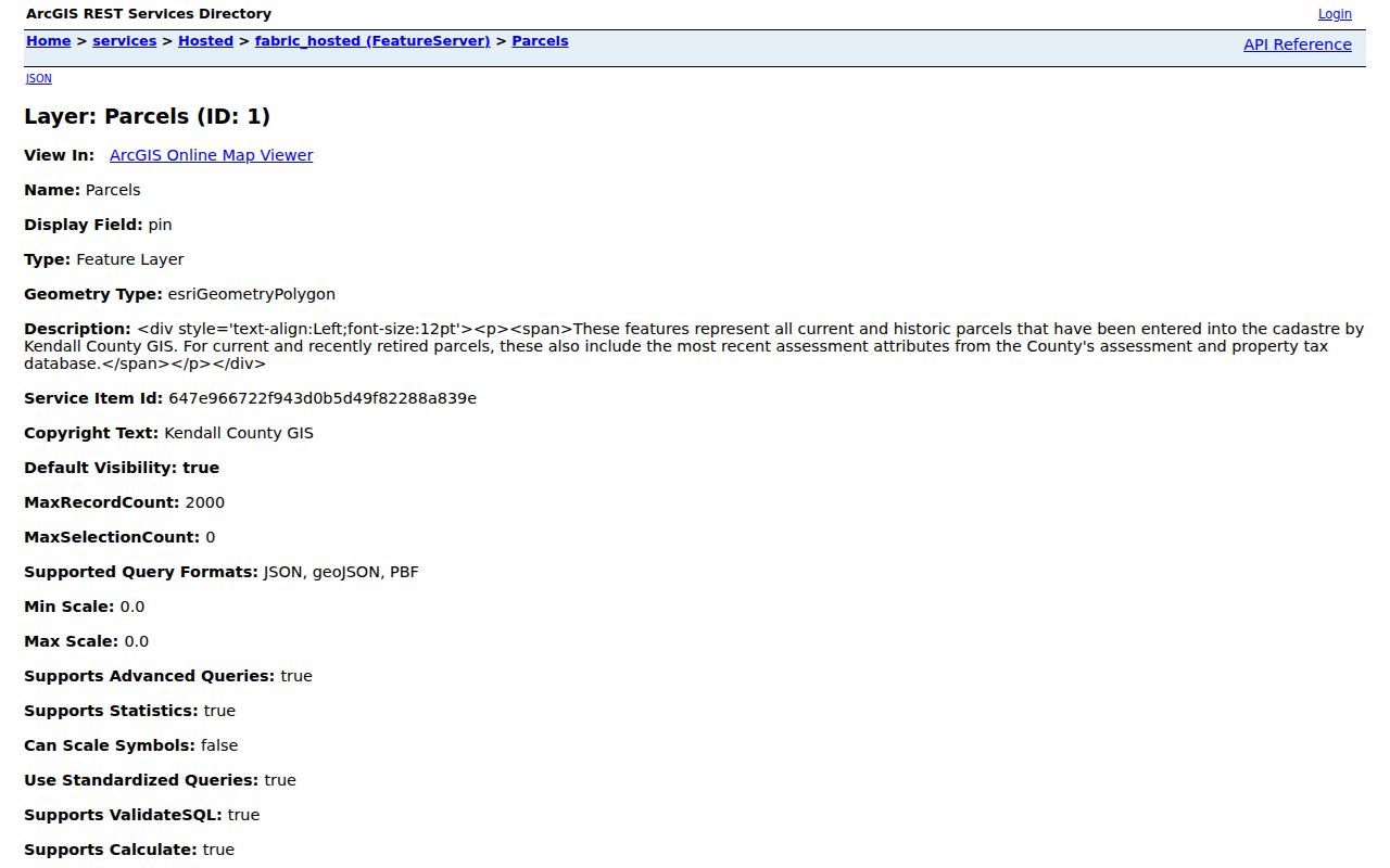
Those separate fields prevent a mailing contact from being mislabeled as the person at the street address.
Montgomery Street Directory Sources
No single Montgomery record lists every person along a street. Each source answers a narrower question. Parcel and tax systems identify land and an owner attribute. Recorded instruments show legal transfers or interests. Permits show a project and named roles. Voter tools confirm only the individual searched under election rules. Historical publications can supply dated household evidence when a specific edition is found.
| Record Set | Keeper | What It Shows | Access |
|---|---|---|---|
| Property and tax roll | Kane or Kendall assessor | PIN, site, owner and mailing fields | DevNet, assessor, or township office |
| GIS parcel map | KaneGIS4 or Kendall GIS | Parcel, subdivision, zoning, nearby lots | Free public viewer or service |
| Deeds and liens | Correct county Recorder | Transfers, interests, document dates | Online where available; office research |
| Voter lookup | Kane or Kendall elections | Status and election details for a searched voter | County portal; statutory limits apply |
| Building permits | Village Building Division | Project, site, owner, applicant, contractor | Logs, BS&A, counter, or FOIA |
The PIN is the safest link between parcel, tax, deed, and permit material. Names need role labels and dates. A permit applicant may be a contractor, while an owner mailing address may sit outside Montgomery. A street directory entry from an old publication can describe a household, but the edition may lag the year printed.
Montgomery Permits by Street
The Village Building Division posts monthly permit logs for 2021 through 2026. Its applications can carry the site address, PIN, township, owner, applicant, scope, value, land use, contractor details, and JULIE number. This makes permits useful for dating construction and alterations. It does not make the applicant a resident. The Village says BS&A handles online permits for decks, sheds, roofs, and siding, while email and in-person routes remain available.
Review the Montgomery permit page and logs before requesting a file.
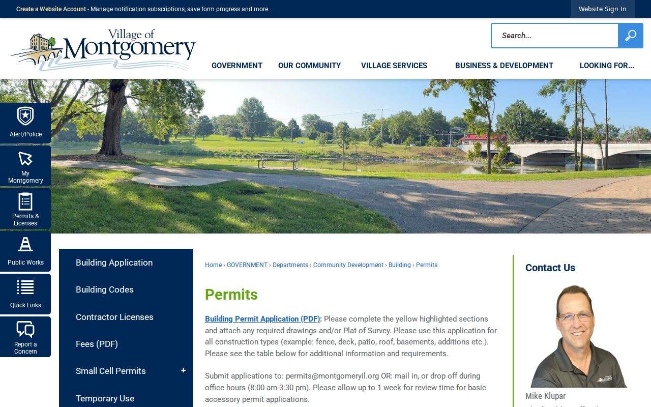
The published logs can identify a month and permit type, which makes a later records request far more precise.
When the online record is thin, contact the Building Division or file a Village FOIA request for one address, record type, and date range. Older ordinances and plan files may sit with the Clerk or Community Development. Do not ask for every name tied to a broad area.
Follow Montgomery Streets Through Deeds
Once the county and PIN are known, move to the correct Recorder. Kane's Land Records Search is free, and six public computers are available at the Geneva research area. The online controls were not fully captured, so use the current interface only for fields it actually displays. If the index is not enough, visit, call 630-232-5935, or place a narrow copy order with a document number, PIN, name, or date range.
Kendall's official fallback is the Recorder research area at 502 S. Main St. in Yorkville, open on weekdays, with document research ending before the office closes. Call 630-553-4112 for current access details. The county page did not expose a complete online index or coverage cutoff. Kendall GIS document fields are a bridge, not a substitute for the recorded instrument.
- Parcel
- A mapped unit of land identified by a PIN.
- Situs address
- The physical site address, which can differ from the owner's mail address.
- Plat
- A recorded drawing that describes lots, blocks, or a subdivision.
- Criss-cross directory
- A publication arranged by address or telephone number instead of surname.
FOIA can obtain an identifiable agency record, but it does not require either Recorder to conduct a title search. For older land and tax material, search IRAD by county, title, and depository or ask the Oswego library about maps and local newspapers.
Older Montgomery Street Identities
Montgomery developed around the Fox River before its modern street and postal system. Early material may use Graystown, a township, a rural route, a farm description, or a legal description rather than today's house number. Preserve the old wording. Compare it with an Illinois Digital Archives township plat, county land or tax series, and the present parcel only after the historical county has been identified.
No official source in the research establishes a complete Montgomery criss-cross directory run or a broad street-renumbering event. Do not invent either. Ask the Oswego Public Library District genealogy collection for a location, directory type, and exact years. Its newspaper microfilm, maps, family histories, and consultation route can support an old address. The historical collections themselves belong on the Montgomery city directories page.
Missing Kane records can also be a custody question. Fires in 1843 and 1890 damaged records, while county formation changed where early material was kept. A failed search is not proof that an event never occurred.
Keep a Montgomery Address Log
Street research becomes easier to audit when every result goes into an address log. Retain the address exactly as printed, a normalized search version, county, township or municipality, PIN, source date, and the role attached to each name. Note whether the source describes an owner, tax contact, deed party, permit applicant, contractor, voter, business, or historical household. Those labels prevent a useful lead from becoming an unsupported claim.
For a transfer, add the document number, instrument type, recording date, grantor, grantee, and legal description. For a permit, add the log month, permit number, work type, scope, and applicant. Historical material needs the title, publisher, year, page, and arrangement. Save the old street wording beside the modern match.
A clear flow keeps the evidence in order: address wording, county map, PIN, assessment result, recorded instrument, municipal file, historical source, then confidence label. When a parcel splits or combines, start a new line for each created or retired PIN. Kendall's effective dates and document references can flag that change. On the Kane side, compare assessment years and ask the Recorder about the older instrument if the web trail stops.
Note: Date every Montgomery street record, since a map, owner, mailing contact, permit role, or directory entry can change.
Limits of Montgomery Street Records
A Montgomery street directory assembled from official records remains a set of dated associations, not a live roll of occupants. An owner may live elsewhere. A mailing address may belong to a trustee or manager. A permit applicant may be a contractor. A voter portal confirms the searched person's registration facts but should not be harvested into a block list. Confidential, sealed, juvenile, vital, motor-vehicle, and Address Confidentiality Program data stay outside public view.
Use the least amount of personal detail needed for family history, an estate question, seller verification, civic research, or property history. Confirm a claim at the office that holds the source. Never publish a private address learned through a protected channel.
Lawful use. Montgomery address records are for lawful personal research. Never use a street search to stalk, harass, threaten, or harm anyone.