
Montgomery Previous-Resident Evidence
There is no one roll of previous residents for Montgomery. The time period and the side of the county line determine the best first source. Current parcel records establish a PIN and legal location. Deeds trace recorded interests. Permits date work at an address. Census and newspapers can name households. A city or reverse directory should be used only after its Montgomery coverage and year are confirmed.
| Source | Years it covers | Where held | What it shows |
|---|---|---|---|
| Kane Recorder instruments | Official records date to 1837 | Geneva research area and online index | Transfers, liens, easements, and document references |
| Kane assessment history | Back to 2004 online | DevNet property inquiry | Assessment-year owner and parcel attributes |
| Kendall parcel fabric | Current and historic features from 1994 | Kendall GIS service | PIN, created and retired documents, dates, owner and site fields |
| Village permit logs | 2021-2026 posted | Village Building Division | Address, permit type, date, and project details where present |
| Federal census | 1790-1950 public | Federal archives and library databases | Dated household and family evidence |
| Directories | No Montgomery run verified | Ask Oswego Campus staff | Occupant-style evidence only if a title is confirmed |
For a recent change, begin with GIS, assessment data, and the recorded deed. For an older question, stabilize the legal parcel first, then add IRAD tax books, plats, newspapers, census schedules, and a verified directory entry.
Pin Montgomery Past Residents First
A Montgomery mailing address does not resolve the county. Some properties route to Kane offices in Geneva and others to Kendall offices in Yorkville. Save the full site address as returned by GIS, including unit, direction, street suffix, city, ZIP, parcel type, and PIN. Also preserve alternate spellings and any subdivision, lot, or block reference.
On the Kane side, KaneGIS4 identifies the parcel and PIN, while DevNet provides property and assessment-year details. On the Kendall side, the parcel fabric separates the site address from the owner mailing address. That distinction is crucial. A mailing address can sit outside Montgomery and does not show who occupied the site.
Kendall's parcel layer also contains created-by-document and retired-by-document references, dates, parcel type, effective dates, brief legal text, and notes. These fields can reveal that a parcel split, merged, retired, or became a condominium unit. They are pointers to recorded documents, not deed images.
Walk Montgomery Deeds Backward
A deed chain follows recorded ownership interests from the present toward the past. It does not by itself identify every person who lived at the address. Begin with the current PIN and legal description, then inspect each recorded instrument rather than relying on an assessor name.
- Confirm the current parcel, county, PIN, parcel type, and legal description in GIS or DevNet.
- Locate the current owner's purchase instrument in the proper Recorder index.
- Record the seller as grantor, buyer as grantee, document number, date, instrument type, and exact legal description.
- Search that seller as a grantee to find the earlier purchase, then repeat the sequence.
- When the web trail ends, use the Recorder research room, copy route, or IRAD land and tax series.
- Grantor and grantee
- The grantor transfers an interest; the grantee receives it.
- Chain of title
- The linked sequence of recorded transfers affecting the same property interest.
- Legal description
- The land description in an instrument, often more stable than a changing street address.
- PIN
- The parcel identification number used to connect assessment, GIS, and some recording records.
Legal descriptions must agree from step to step. A matching surname alone is not enough. Trusts, estates, entities, and joint owners should retain their roles exactly as the instrument states them.
The Kane Land Records Search is the source shown in this successful manifest capture.
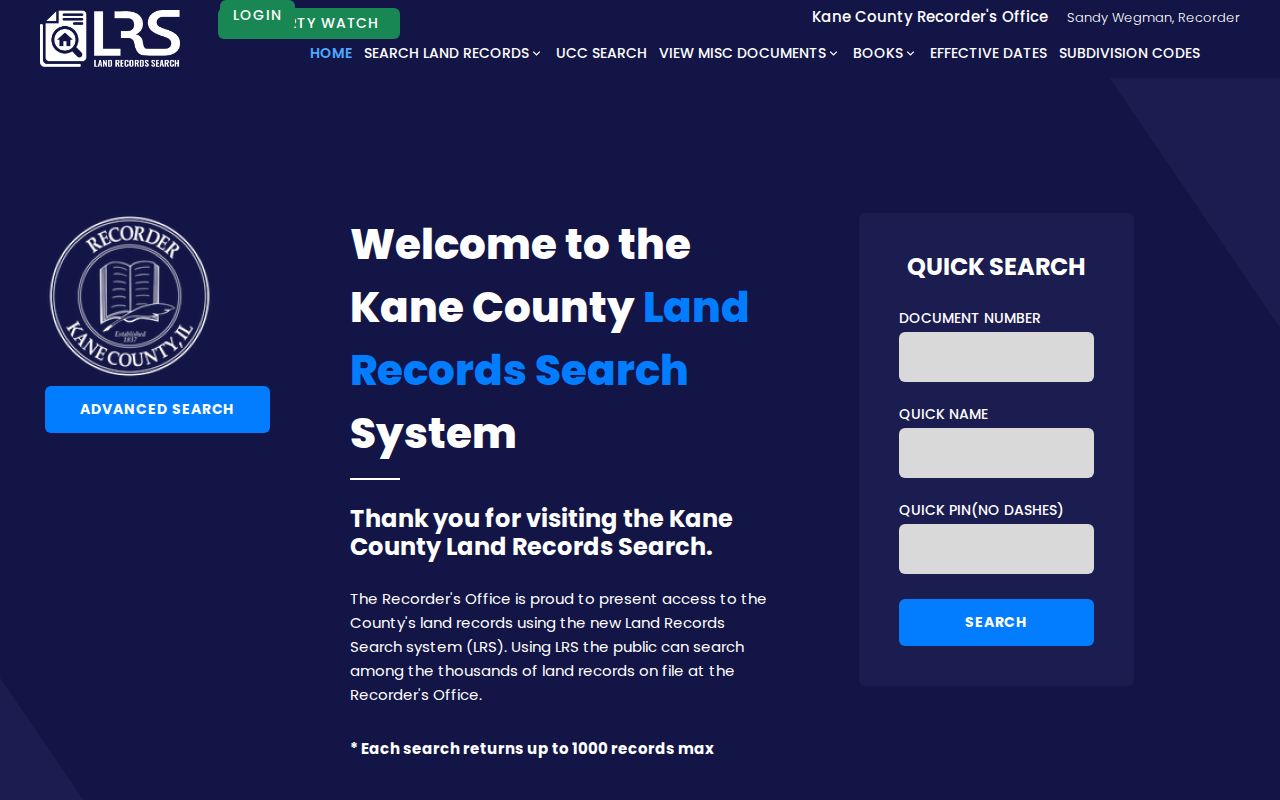
The index is a starting point for document numbers and parties. The recorded instrument supplies the evidence that must be checked.
Kane and Kendall Research Counters
The Kane County Recorder keeps a free public research area at 719 S. Batavia Ave., Building C, Geneva. It is open weekdays from 8:30 a.m. to 4:30 p.m., with plats stopping at 3:00 p.m. and documents at 4:15 p.m. Six public computers are available. The office says it does not perform property searches, so arrive with a PIN, party name, date range, document number, or legal description.
Kendall's Recorder is at 502 S. Main St., Yorkville. Office hours are weekdays from 8:00 a.m. to 4:30 p.m.; its research area closes at 4:00 p.m., with plats stopping at 3:00 p.m. and documents at 4:00 p.m. Research did not verify a complete Kendall online index URL or cutoff. The counter is the documented fallback, and the office also warns that it does not provide document-search service.
The Kane Recorder research page appears in this manifest image.
Its public-computer and counter route matters when the online search lacks an old deed or adequate controls.
Read Kendall Parcel Document Clues
Kendall's fabric service is unusually useful for previous-resident research because it exposes current and historic parcel features. Copy the created-by and retired-by document numbers and dates, then note parcel type, effective dates, legal summary, site address, owner mailing address, township, municipality, zoning, and notes. A current PIN may not have represented the same land for the whole period under study.
The service also offers a Records layer with a document number, broad record type, recording date, notes, and update fields. It is a GIS layer, not a complete Recorder index or scanned-instrument archive. Use its document clue to ask for the actual filing at the Yorkville research area.
The successful capture comes from the Kendall recorded-document GIS layer.
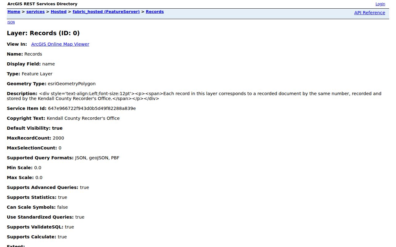
The field list helps build a reproducible trail, while the county Recorder remains the source for the underlying instrument.
Montgomery Permits Date Address Changes
The Village Building Division posts monthly permit logs for 2021 through 2026. Depending on the file, a log or application may contain site address, PIN, owner, applicant, permit type, scope, project value, proposed land use, contractor, and date. Those details can establish when a structure or use changed. They do not prove that the owner or applicant lived there.
Search the posted log first. For an underlying application, send a narrow request with the address, permit type, and date range to the Building Division or Village FOIA custodian. Ordinances, resolutions, sign files, plans, and meeting minutes can add subdivision or development context. The Village places the prior five years of ordinances online and directs older material or the newest six months to the clerk route.
Address → permit date → parcel/PIN → deed document is a useful process flow. Keep each role labeled, such as owner, applicant, contractor, or public speaker. Note: A permit can date activity at a place, but its applicant field is never a household roster.
Confirm Montgomery Previous Residents
Owners are only one layer. To identify previous residents, pair a deed or dated assessment record with a source that can name occupants. Public census schedules through 1950, newspaper notices, obituaries, cemetery records, probate files, and verified directory pages can supply that second clue. The Oswego Campus holds long microfilm runs of the Kendall County Record, Oswego Ledger, Kendall County News, and other area papers.
No official inventory proves a continuous Montgomery city or reverse-directory run. Ask library staff for the exact title, publisher, year, and coverage before using a volume. The collections and the catalog gap are treated in detail on the Montgomery city directories page.
- Choose the nearest public census year or a confirmed directory edition.
- Search the historical address and its known alternate form.
- Copy every household name, relationship, date, page, and source title.
- Compare that result with the parcel chain and a newspaper or vital event.
- Label the conclusion as recorded owner, directory entry, census household, or inferred lead.
Lawful use. Research Montgomery house history and family ties with care. Never use a past-resident trail to track, threaten, or harass a living person.
Kane Genealogy Extends Resident Trails
The Kane County Clerk's historical genealogy system can help close a trail with birth, marriage, or death evidence when the event falls on the Kane side and meets the collection rules. Search fields and date thresholds belong to the official system. A Soundex option may help with surname variants, but each hit still needs identity checks.
The manifest image comes from the Kane genealogy collection search.
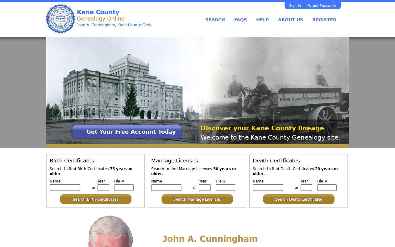
A vital-event result can explain why a name vanished from an address trail, but it should be matched to the same family, date, and location.
Map Early Montgomery Resident Records
Historical geography can be the hardest part of a backward search. Montgomery grew around the Fox River and now crosses the Kane-Kendall line. The village's early settlement predates incorporation, modern street numbers, and Kendall County's creation in 1841. An early deed or tax entry may use a township, section, road, farm, lot, or post-office label instead of a current address.
Compare Illinois township plats, legal descriptions, river and road features, subdivision plats, and county formation dates before translating an old place into today's parcel. Search both Kane and Kendall when an event predates the present county assignment or the legal description is unclear.
Record loss is another limit. Kane records were damaged or lost in an 1843 fire, and about 5,000 court files burned in the 1890 courthouse fire. A gap may come from fire, retention, an online cutoff, parcel reconfiguration, or a name variant. It does not prove that no record ever existed.
Label Montgomery Past-Resident Proof
A deed proves a recorded transfer or interest. An assessment roll shows an administrative owner attribute. A tax bill may go to an address outside Montgomery. A permit can name a contractor or agent. A newspaper can mention a visitor, business, or former resident. Even a city-directory entry may be stale or omit part of a household.
Use clear confidence labels: recorded owner, assessor owner, permit applicant, newspaper mention, directory entry, census household, or inferred lead. Preserve the source date and exact relationship. The strongest previous-resident claim combines independent records from the same period, such as deed plus directory, assessment plus newspaper, or permit plus census.
Keep a worksheet with the old and normalized address, county, PIN, parcel type, legal description, instrument number, parties and roles, assessment year, permit data, newspaper title and page, directory citation, and confidence label. That record turns a pile of names into a trail another person can check.